Oola solar farm Flood Risk Assesment (FRA)
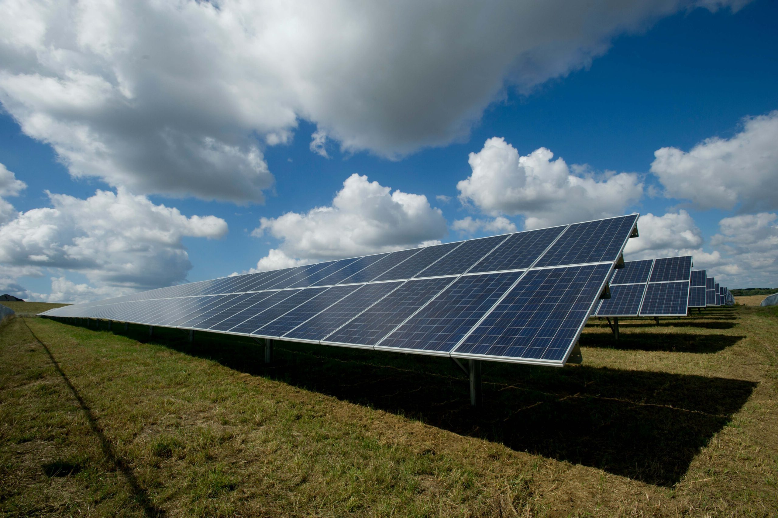
Covering an area of approximately 141 hectares, the site of the proposed Oola solar farm was in close proximity to a number of watercourses that presented a flood risk to the development. We were appointed to carry out an FRA to support the planning application for the site.
- Client Harmony Solar Ltd
- Location Oola, County Limerick
Identifying flood risk and mitigation measures through hydraulic modelling
Based on our proven track record for developing flood models, our modelling and flood mapping expertise was called upon as an FRA was required as part of the planning permission for this project. With two sections of the site located in areas at risk of flooding, a combination of 1D/2D modelling was required to confirm the extent of potential flooding and identify mitigation measures.

Utilising flood maps to support solar farm design
Having identified the flood risks that were likely to impact the development, we built a detailed Stage 3 hydraulic model for the watercourses that flowed through or close to the site. From this model, we were able to develop a series of flood maps that illustrated the level of flood risk at different points across the site. This was then used to identify the optimum location for the solar panels and placement of the substation.

For more information about this project, please contact David Casey.

