Liffey Valley Park: Enhancing access and recreation whilst protecting habitats and heritage
Working in partnership with Kildare County Council, we delivered a feasibility study that turned long-term ambitions for the River Liffey into clear, fundable next steps. Improving access to nature and everyday recreation whilst protecting sensitive habitats and heritage.
Kildare County Council is investing in greener, healthier places, linking its communities to the River Liffey and in doing so celebrating local waterways and heritage. To move from ideas to delivery, the council required a clear view of what could be achieved, where, and in what order, supported by a clear understanding of the costs, consents, and constraints.
We worked closely with the council team to map opportunities and constraints, test options on the ground, and shape practical packages of work that gave the council confidence to engage communities, target funding, and take the next steps, while being clear about what should not be progressed in sensitive areas.
- Client: Kildare County Council
- Location: River Liffey corridor (Celbridge–Leixlip–St Catherine’s Park)
- Services: Environmental baseline surveys, option assessment and feasibility studies, public and stakeholder engagement
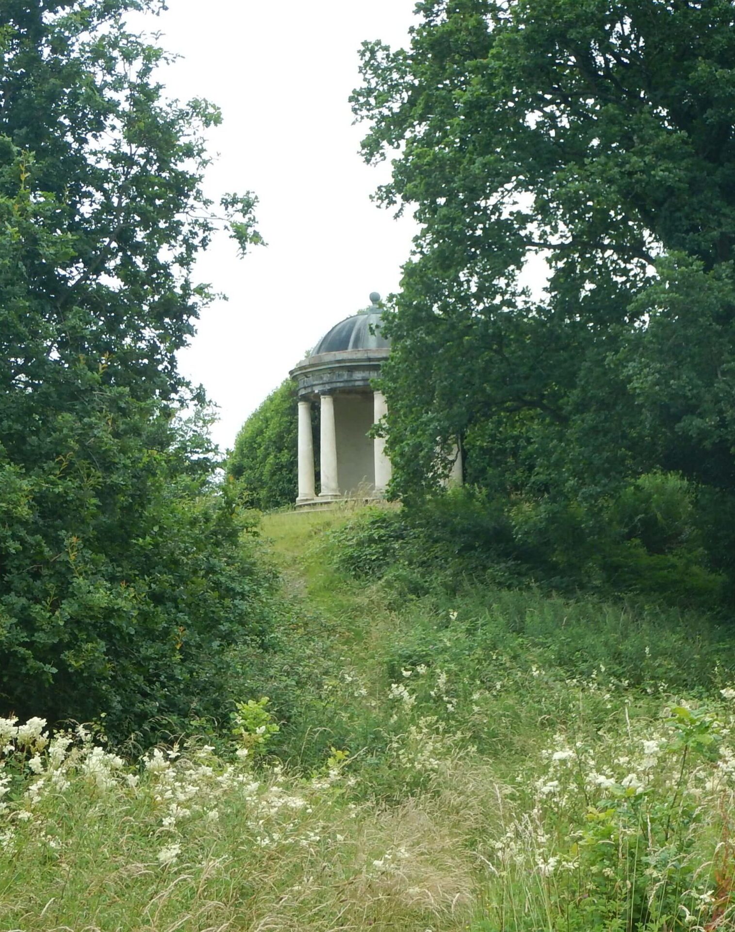
Connecting people, nature and heritage through a riverside green corridor
Kildare County Council’s vision for the Liffey Valley Park is to make it easier for people to walk, cycle and enjoy the river landscape between Celbridge, Leixlip and St Catherine’s Park. The objectives are to connect communities through a continuous riverside green corridor, enhance walking and cycling routes for better accessibility, and add small, well-placed amenities like trails, seating, and play areas where the landscape allows. Additionally, the plan aims to protect wildlife, improve water quality, and preserve the area’s heritage for long-term benefits.
Our feasibility study helped set out a deliverable first phase, showing where new links and facilities would make the biggest difference and how to do so while respecting local protected habitats and historic landscapes.
Our approach was guided by three simple principles.
- Putting nature first, by protecting habitats and water quality, and keeping any change low-impact in the most sensitive places.
- Respecting heritage by designing around historic landscapes, key views , and archaeology.
- Designing with people in mind, focusing on safe, inclusive routes with facilities that fit the setting rather than overpower it.
Funding-ready: a clear, phased package that aligns with active travel and green infrastructure priorities.
The work focused on making the park easier to access and more enjoyable for everyone in the community. This included clearer gateways and wayfinding in Celbridge and Leixlip, and a new walking and cycling bridge linking Celbridge town centre with Donaghcumper Lands, closing a major gap in the network. It also proposed creating a new public park at Donaghcumper Lands with simple trails, play and picnic areas, alongside quieter, nature-based experiences at Leixlip Demesne and Leixlip Reservoir, such as screening wetlands and bird-watching points. Throughout the corridor, there would be practical habitat improvements, particularly the control of invasive species such as Himalayan Balsam, thereby supporting a healthier river environment with increased access.
The delivery and phasing of the project was broken down into three clear actions.
- Short term: Wayfinding, interpretation, small public‑realm improvements and habitat management.
- Medium term: Construction of the Celbridge pedestrian bridge and opening Donaghcumper as a park.
- Longer term: Expanded amenities and integration with regional walking and cycling networks.
Nature recovery: targeted improvements along the river corridor, including invasive species control
The feasibility study established clear, important boundaries to protect sensitive environments, ensuring that time and resources could be focused on appropriate and sustainable solutions. Activities such as water sports or swimming in the River Liffey or the Leixlip Reservoir were ruled out, as were any new development within the riparian exclusion zones and the protected heritage landscapes. Proposals that would introduce lighting or structures that would be harmful to dark corridors, wildlife habitats, or important historic views were also excluded.
These constraints were guided by the need to safeguard the lowland hay meadows, with their protected flora and fauna, including otters, bats and bird species, as well as significant archaeological sites and nationally important historic estates such as Castletown House. The next steps will include the appropriate environmental and heritage checks, plus detailed surveys, ensuring the river, wildlife, and historic places are protected as plans move forward.